Hello, this is the staff of The Gate Hotel Ryogoku.
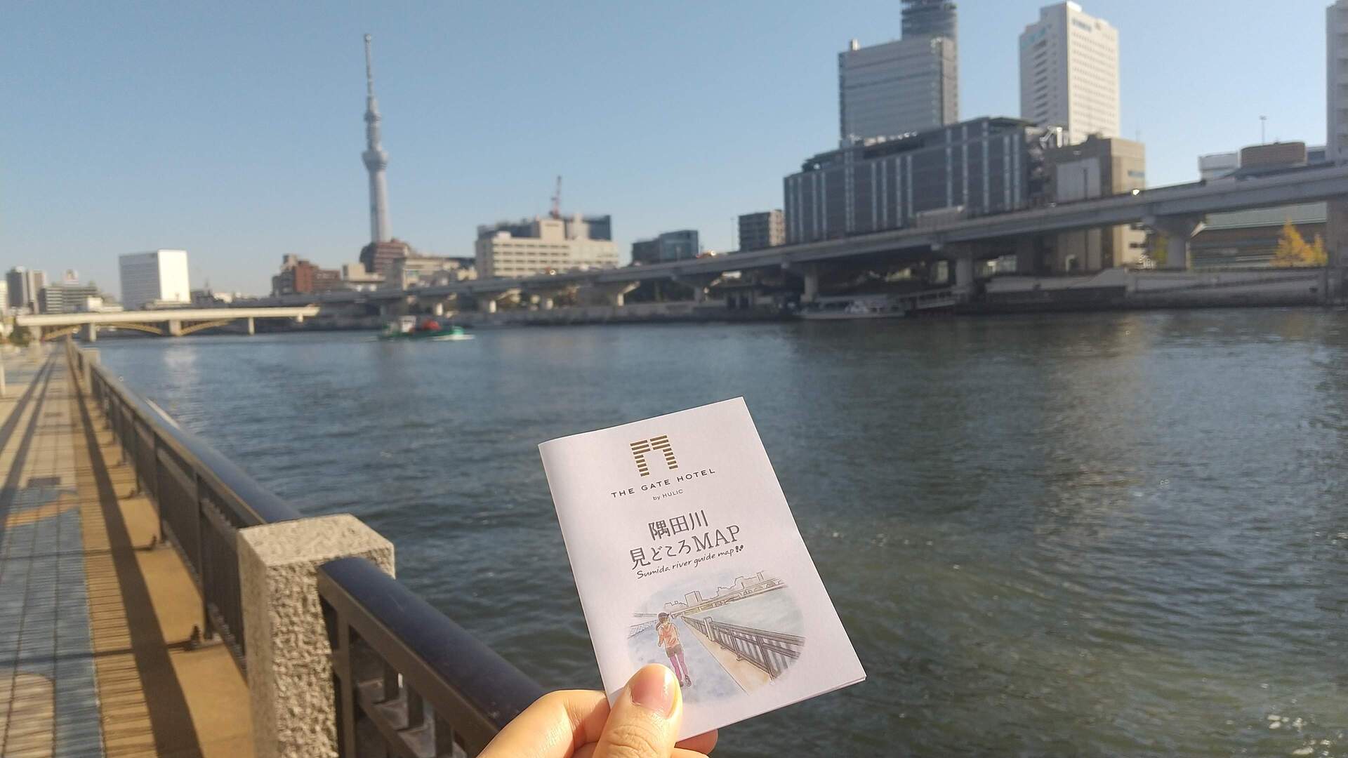
The Gate Hotel Ryogoku, as a riverside hotel connecting the waterfront and the city, created a map that proposes activities in conjunction with water buses and cruise ships, and ways to spend time at the Ryogoku River Terrace (the grand staircase in front of the hotel) and Sumida River Terrace (a well-maintained path along both banks of the Sumida River) so that our guests can enjoy the waterfront environment to the maximum.
What is the Sumida River Highlights Map?
The Sumida River Highlights Map includes four recommended courses:
- Asakusa/Ryogoku Enjoyment Course (approx. 4.5 km)
- Sumida Park Round Trip Course (about 6.7km)
- Beginners’ Easy Ryogoku Course (approx. 2.2 km)
- Beginners’ easy Asakusa course (approx. 2.1 km)
Our staff’s top recommendation is the Asakusa/Ryogoku Full Enjoyment Course (approx. 4.5 km).
In fact, if you continue along the Sumida River toward Asakusa, you will find another one of our hotels, The Gate Hotel Kaminarimon. This course is a round-trip course connecting the two The Gate Hotels.
This course is recommended not only for joggers but also for those who wish to take a walk. We hope you will find this article and map useful!
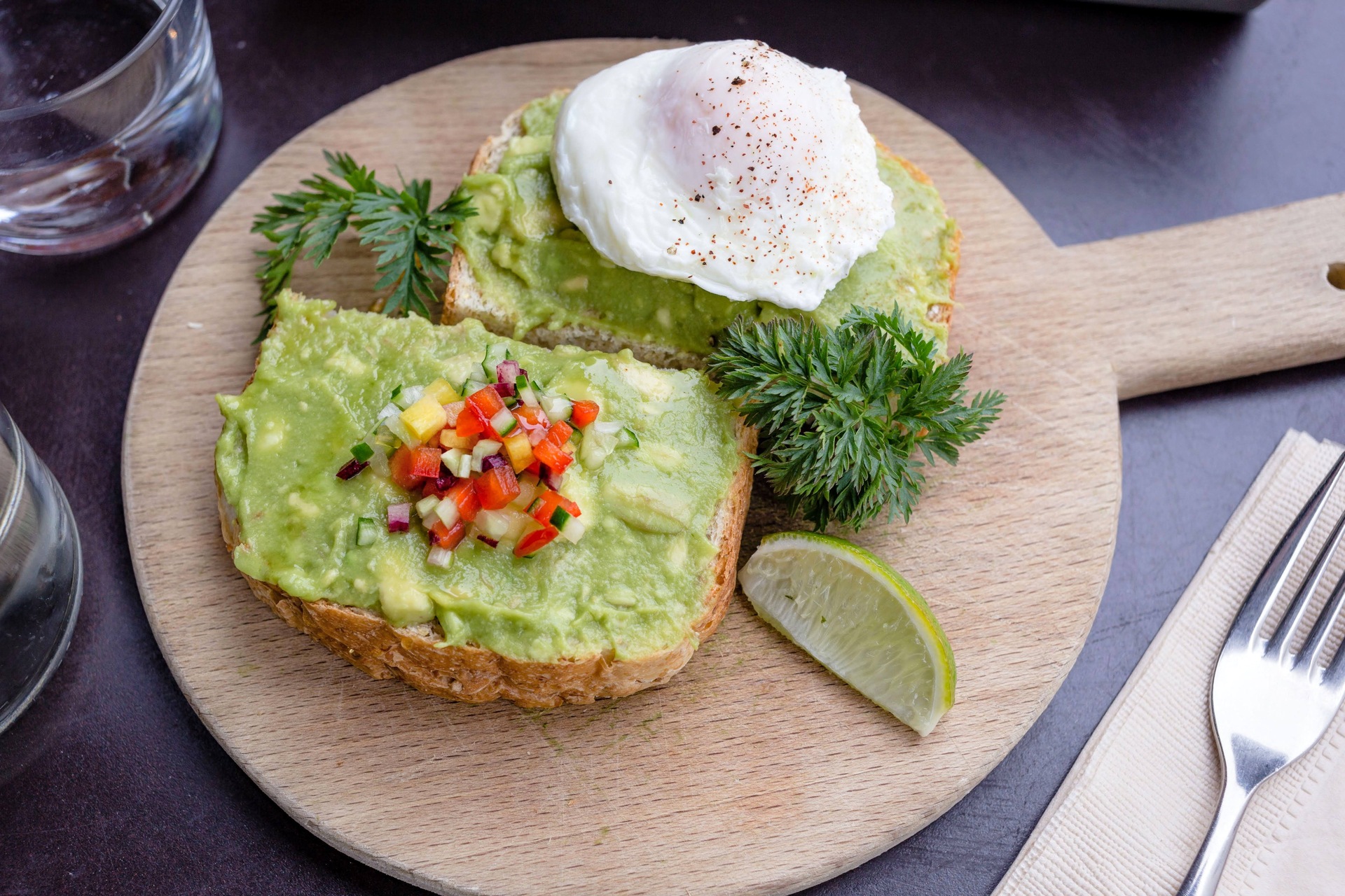
The map also includes recommended cafes and side trip spots on the course, Sky Tree photo viewing spots, and explanations of attractions.
If you would like to see the actual map, please feel free to ask our staff when you visit either hotel.
START!

This time, we will introduce The Gate Hotel Ryogoku as our starting point.
First, go out from the 2nd floor of the hotel and go down the grand staircase of the Ryogoku River Terrace, and you will see a path along the river (called the Sumida River Terrace) extending to the left and right. Here, we will proceed to the left.

On the Sumida River Terrace fences around Ryogoku, there are inlaid illustrations of sumo moves. There are many different types, so we recommend that you try to find your favorite technique.
Let’s cross the Ryogoku Bridge!

When passing the railroad bridge where the JR Sobu Line goes by, do you see a black bridge a short distance ahead?
This is Ryogoku Bridge.
This bridge was built in 1659, the second oldest bridge across the Sumida River (it has since been replaced), as a fire prevention measure based on the lessons learned from the Meireki no Taika, the great fire of 1657 in Edo, and to develop the suburbs of Edo. The bridge was named after the border between Musashi Province and Shimousa Province, which was divided by the Sumida River in the Edo period.
The Sumida River Fireworks Festival, which has become an annual event, used to be held near Ryogoku Bridge.

At first glance, the bridge looks dark and plain, but it has a long history. At the foot of the bridge, there is a sphere in the shape of a firework ball, and in the middle of the bridge, there is a round space in the shape of a sumo ring. The view from here is also spectacular.
From Ryogoku Bridge to the River Terrace
After crossing the Ryogoku Bridge to the left, the Sumida River Terrace is once again cut off. Since it is a little confusing, please watch this video.

Yanagibashi, the small green bridge you cross on the way, is the lowest bridge over the Kanda River. If you look on the opposite side of the Sumida River, you will see many houseboats parked in the narrow channel. It is a reminder that the bridge once flourished as a ferry crossing to Ryogoku, which was once Edo’s most prosperous entertainment district (including the Yoshiwara amusement quarters), and this is the only place where you will find a retro atmosphere, so be sure to take a look.

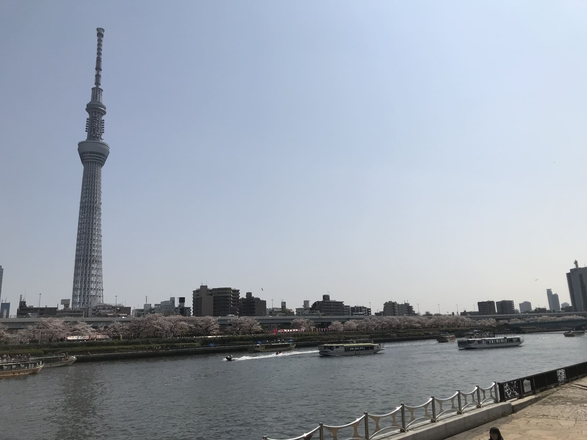
Once back along the river, continue jogging with a view of the Tokyo Sky Tree®!

Ryogoku Bridge – Kuramae Bridge

The walls in this area are scalloped-tile seawalls in the style of namako walls (walls often seen in samurai residences during the Edo period). Namako walls were popular during the Edo period (1603-1867), when fires were common because they were resistant to wind and rain, fireproof, and heat-retaining. Some family crests can be found here and there, and these are the crests of feudal lords who served as kumigashira among those who were active in the town building of Edo (present-day Tokyo).

If you continue on for a while, you will come right in front of The Gate Hotel Ryogoku.

Next, you will see the Kuramae Bridge with its impressive three golden arches.

The Kuramae Bridge, built in 1927, was named after the main road passing through the Asakusa Gozo (rice warehouse) at that time, which was called Kuramae-dori, and has a relief of a sumo wrestler on its parapet.
Kuramae Bridge – Umayabashi Bridge

This area is especially well maintained as a pedestrian walkway. Along the path, several Ukiyo-e paintings by Katsushika Hokusai, who spent most of his 90 years of life in Sumida-ku, and Utagawa Hiroshige have been installed, so please walk along the path while finding them.

Next, you will see the green Stable Bridge.
The name of the bridge comes from the fact that there were many stables (horse stables) for rice warehouses in Asakusa in this area, and the stained glass of the horse on the main pillar at the foot of the bridge is impressive.

Kuramae Station is located near Stable Bridge. In this area, you will find many stylish cafes that look like renovated warehouses, so be sure to stop by for a break.
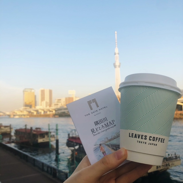
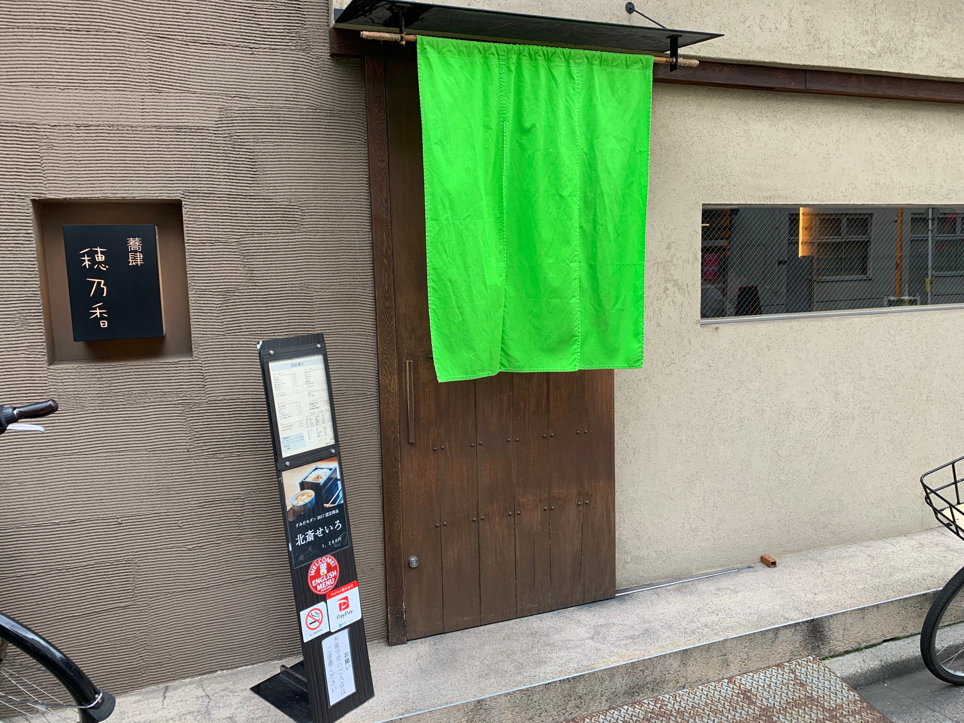
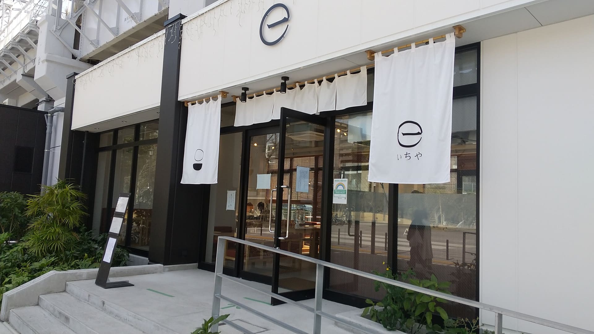
Leaves Coffee Apartment is one of our recommended coffee stands introduced on the map.
Stable Bridge – Komagatabashi Bridge – Azuma Bridge

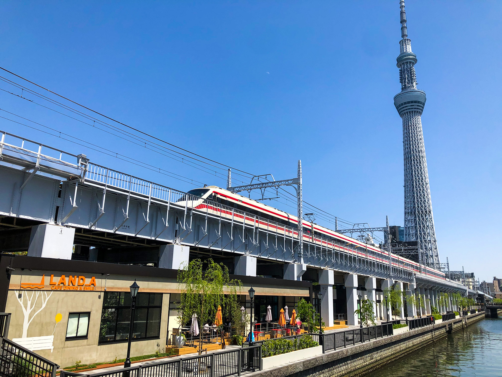
After passing the Stable Bridge, you will finally see Asakusa, and diagonally across to the right, the Tokyo Sky Tree® approaching.
Komagata Bridge takes its name from the Komagata-do Hall on the Asakusa side of the bridge. Despite being a major transportation hub since the Edo period (1603-1867), the bridge was built in 1927 as part of a reconstruction plan after the Great Kanto Earthquake.

The area around Komagata Bridge is less crowded than the Azuma Bridge area, so if you want to take a picture of the Tokyo Sky Tree®, this is the place to go.

Azuma Bridge to The Gate Hotel Kaminarimon

Azuma Bridge, with its striking red color, connects to the main street leading to Asakusa. This is the turnaround point for this course.

After climbing the stairs to the top of the bridge, exit to the left.

Continue on to the busy Kaminarimon Street. The Gate Hotel Kaminarimon entrance is located next to the building with a supermarket Ozeki on the first floor.

You will enjoy a different atmosphere from that of The Gate Hotel Ryogoku, so please stop by!
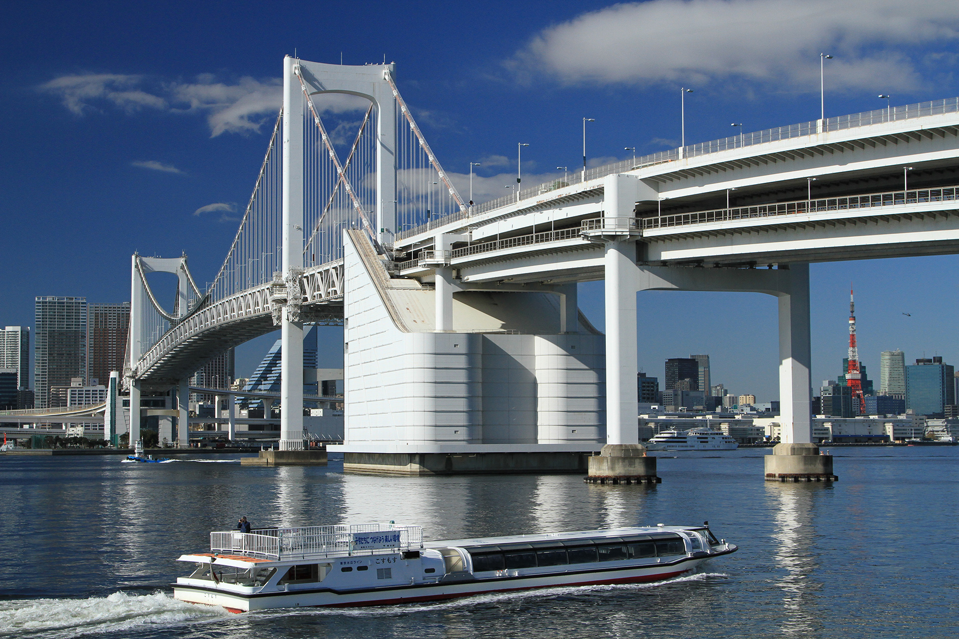
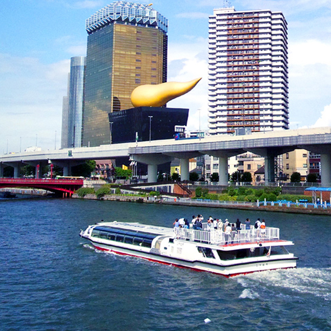
Although not part of this course, the Asakusa area is home to Sensoji Temple and the headquarters of Asahi Breweries, as well as the newest spots such as Sumida River Walk and Tokyo Mizumachi. There is also a water bus service from near Azuma bridge. It is recommended to take a short break and enjoy a bite to eat around here.
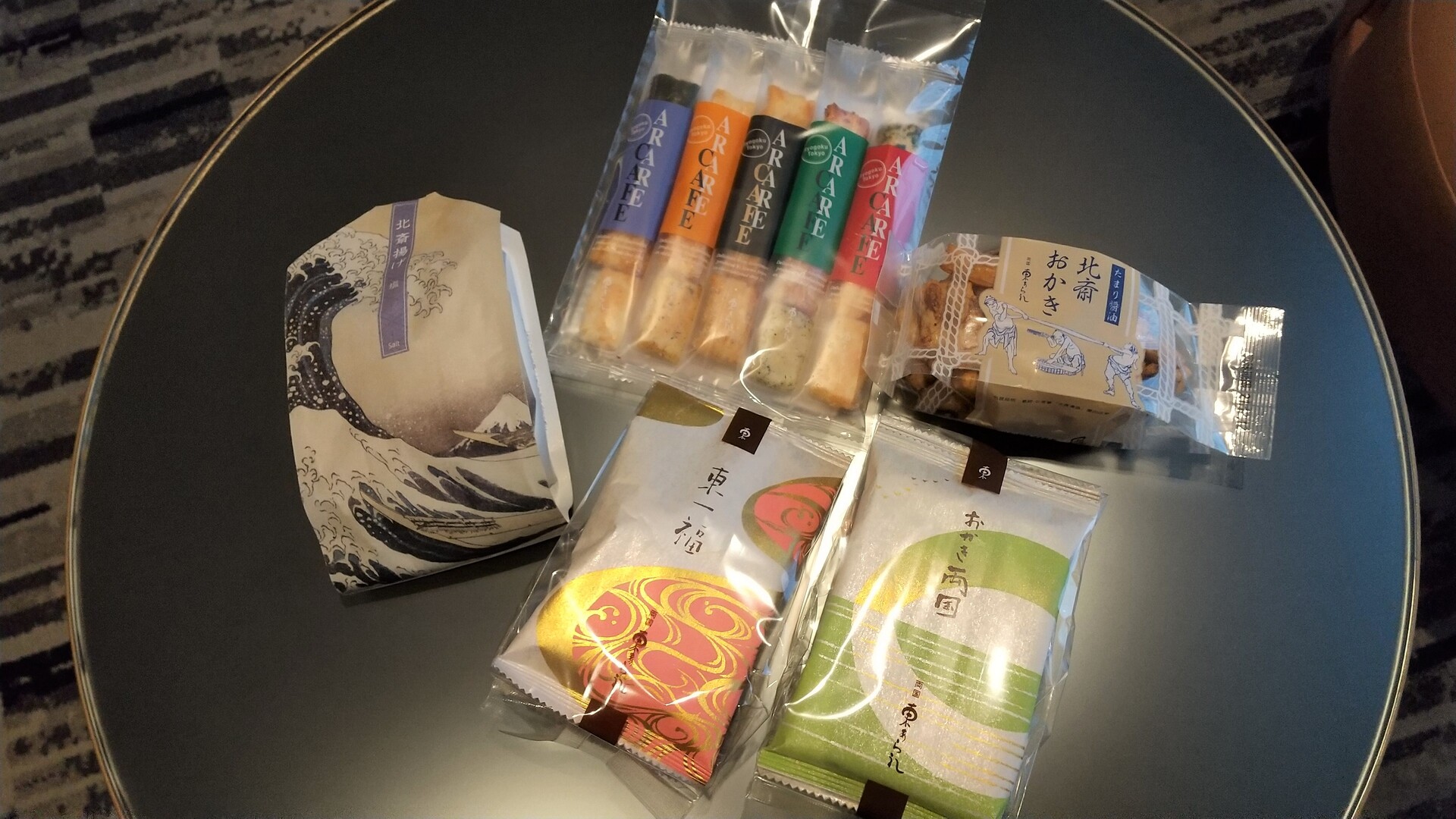
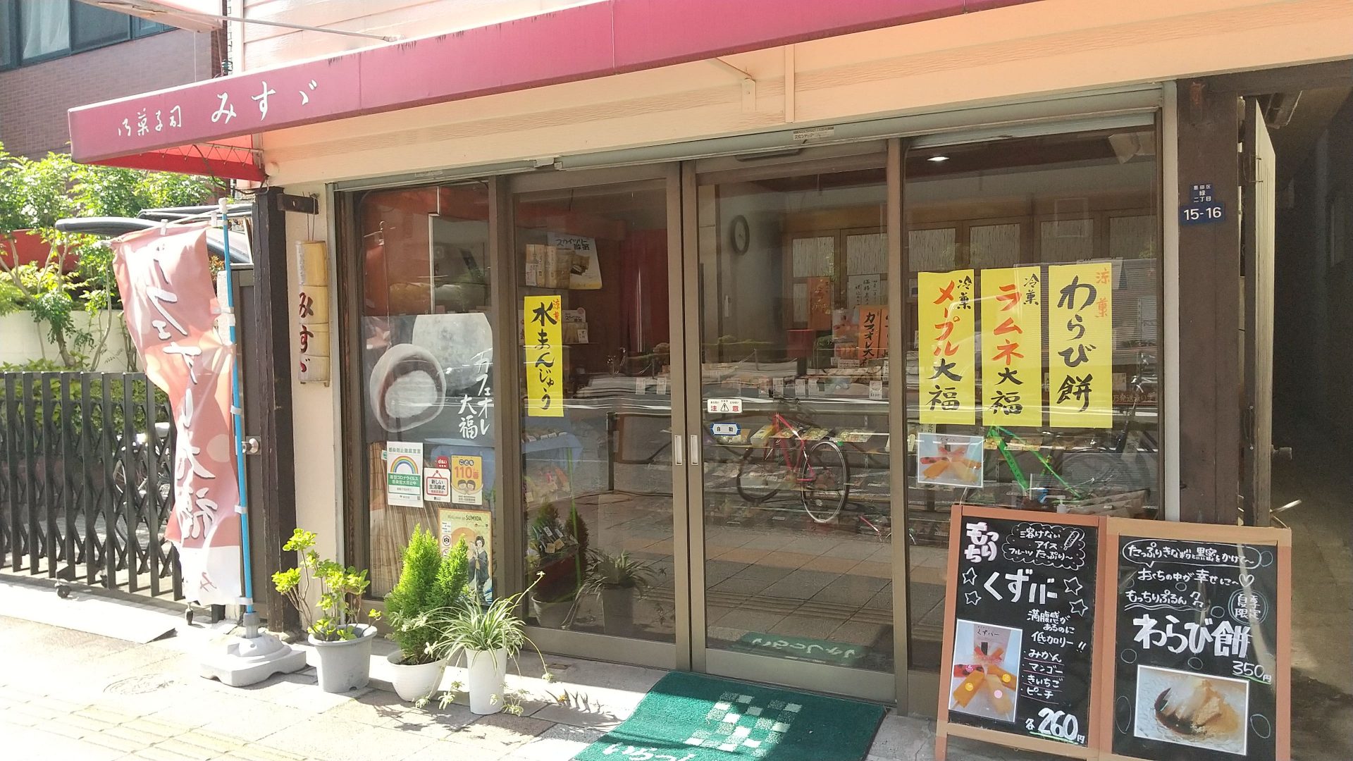
The recommended cafes in the Sumida River Highlights Map are also located in this area, so please be sure to check them out.
Cross Azuma Bridge for the return trip


Azuma Bridge – Komagata Bridge – Stable Bridge
Turn around at Azuma Bridge and go back to the riverside path. This is a different path from the one taken on the way there. It is a narrow channel that takes in water from the Sumida River, and trees have been planted all along the channel, giving you the feeling of being in nature.
Some parents and children can be seen playing in the water. Please note that puddles tend to form on rainy days.

Stable Bridge – Kuramae Bridge
When you return to the area around Stable Bridge, the path reverts back to concrete.

You will also frequently see beautifully maintained flowerbeds, which are taken care of by the flower keepers, local town councils, and local volunteer groups. The Tokyo Metropolitan Parks Association supports them by providing seedlings and technical training.


The fence around Kuramae Bridge has inlaid pictures of boats and sumo wrestlers. They are different from the illustrations of sumo moves on the opposite bank.


From Kuramae Bridge to The Gate Hotel Ryogoku
In this area, called the Sumidagawa Gallery, nishiki-e depicting Edo to Showa period culture and cityscapes are enlarged and exhibited.


Can you find a zone with countless piles in front of the nishiki-e?
These are called “100 piles”. Until around the Meiji era (1868-1912), numerous piles were driven into the banks of the Sumida River to weaken the strong current of water and serve as a protective barrier.
Welcome back!

How was the course?
Since it is a long distance from the hotel, it is difficult to understand the route only with the Sumida River Attractions Map, but we hope the photos will convey the charm of the course.
Of course, we also recommend that you take a one-way course and enjoy sightseeing at the destination.
Asakusa and Ryogoku have different atmospheres, but both are filled with the charm of downtown Tokyo, so why not enjoy them to the fullest?
Where to stay

Drop in on us


